The Great American Land Sale Glitch: How Uncle Sam Accidentally Sold the Same Forest Twice

When the Government Played Real Estate Roulette
The United States government has made some spectacular bureaucratic blunders over the years, but few match the sheer absurdity of the Great Cascade Forest Fiasco of 1903. In what might be the most expensive clerical error in federal history, the General Land Office managed to sell the same 47,000 acres of protected Washington State forest to two completely different buyers — and both sales were perfectly legal.
This wasn't a case of fraud or corruption. This was pure, weapons-grade government incompetence that exposed a fundamental flaw in how America kept track of its own land.
The Paperwork That Broke America's Filing System
The trouble began in the summer of 1903, when the General Land Office in Washington, D.C. was processing an unusually high volume of land patent applications. The Homestead Act was still in full swing, and western territories were being carved up and distributed to settlers at breakneck speed.
Two separate applications landed on different clerks' desks within days of each other. The first came from the Pacific Lumber Consortium, seeking to purchase timber rights to a section of the Cascade National Forest. The second arrived from the Washington Mining Company, requesting mineral rights to what they described as "undeveloped federal land adjacent to Mount Baker."
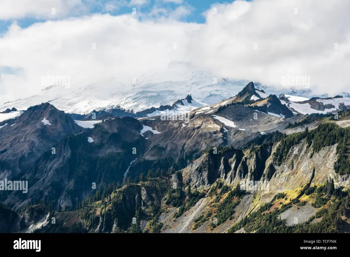 Photo: Mount Baker, via c8.alamy.com
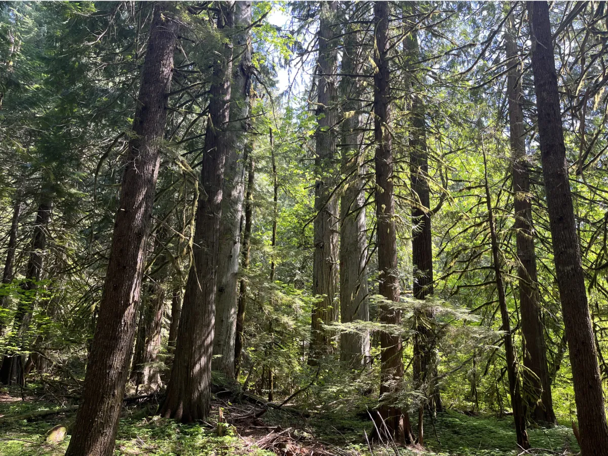 Photo: Cascade National Forest, via www.cascadeforest.org
Both applications included detailed surveyor maps, legal descriptions, and the proper fees. Both were processed according to standard procedures. And both described exactly the same piece of land.
The Map Room Where Geography Went Wrong
The General Land Office's filing system in 1903 was a marvel of 19th-century organization: thousands of hand-drawn maps, cross-referenced by township, range, and section numbers, all stored in a massive basement archive beneath the Department of Interior building.
The problem was that different government agencies used different numbering systems for the same territories. The Forest Service used one set of coordinates for conservation areas. The Mining Bureau used another for mineral surveys. The Land Office used a third system for homestead allocations.
When Pacific Lumber applied for "Section 15, Township 12 North, Range 8 East," clerk Benjamin Morrison pulled the appropriate forestry map and processed the timber rights. When Washington Mining applied for "Parcel 47-B, Survey District 3, Mineral Zone 12," clerk Sarah Hutchins pulled what she thought was a completely different map and approved the mineral rights.
Both were looking at the same 47,000 acres of pristine Cascade forest. Neither realized it.
The Day Two Companies Showed Up to the Same Land
The error might have gone unnoticed indefinitely if both companies hadn't decided to begin operations in the spring of 1904. Pacific Lumber arrived with a crew of 40 loggers and a portable sawmill. Washington Mining showed up with 25 miners and heavy excavation equipment.
The confrontation happened at dawn on April 12, 1904, when Pacific Lumber's foreman found Washington Mining's crew setting up a sluice operation directly through what his maps showed as prime timber territory. Both sides produced federal land patents. Both documents bore official government seals. Both were dated within a week of each other.
Local sheriff William Kowalski was called to mediate, took one look at the paperwork, and immediately telegraphed the territorial governor. This was way above his pay grade.
The Legal Circus That Followed
What followed was eleven years of legal chaos that kept lawyers busy from Seattle to Washington, D.C. Pacific Lumber sued Washington Mining for trespassing. Washington Mining countersued for interference with lawful mineral extraction. Both companies sued the federal government for selling them worthless deeds.
The case exposed embarrassing gaps in federal record-keeping. During discovery, attorneys found dozens of other instances where overlapping land grants had been issued, though none quite as blatant as the Cascade Forest situation.
Meanwhile, the disputed land sat empty. Neither company could operate while ownership was contested, but both had invested heavily in equipment and personnel. Pacific Lumber was paying storage fees on a disassembled sawmill. Washington Mining had a steam shovel rusting in the forest.
When Congress Had to Invent New Words
By 1910, the case had reached the Supreme Court, which declared itself unable to resolve the matter without congressional action. The problem was that both land patents were legally valid under existing law. There was no mechanism for determining which should take precedence.
Congress was forced to create an entirely new category of federal land classification: "Dual-Use Conservation Zones." The legislation, buried in the 1915 Agricultural Appropriations Act, established that certain federal lands could be simultaneously designated for multiple commercial uses, with profits shared between permit holders.
It was an elegant solution to an impossible problem, though it required Pacific Lumber and Washington Mining to become unlikely business partners. The timber company would harvest trees, leaving behind cleared areas where the mining company could dig for minerals. Profits would be split 60-40, with the federal government taking a 15% administrative fee.
The Forest That Paid for Itself Twice
The partnership turned out to be surprisingly successful. Pacific Lumber's selective logging created access roads that made Washington Mining's operations more efficient. Washington Mining's excavation revealed underground springs that Pacific Lumber used to power their mill operations.
Over the next two decades, the dual-use arrangement generated more federal revenue than either company could have produced independently. The government essentially got paid twice for the same land, turning a bureaucratic disaster into an accidental windfall.
The Filing System That Finally Got Fixed
The Cascade Forest incident prompted a complete overhaul of federal land records. The General Land Office implemented a unified mapping system, cross-referenced all existing patents for conflicts, and established the Geographic Coordination Office to prevent future overlapping grants.
Benjamin Morrison and Sarah Hutchins, the clerks whose error started the whole mess, were quietly transferred to different departments rather than fired. Government officials apparently decided that publicly blaming individual employees for systemic failures would only encourage more cover-ups in the future.
The Legacy That Nobody Talks About
Today, there are still 23 active Dual-Use Conservation Zones scattered across western states, though most people have never heard of them. They're a legal relic of the time when America's federal bureaucracy accidentally proved that some mistakes are so spectacular they become innovations.
The original Cascade Forest site is now part of North Cascades National Park. A small plaque near the visitor center mentions the "unique collaborative conservation history" of the area, without going into details about how that collaboration was forced by government incompetence.
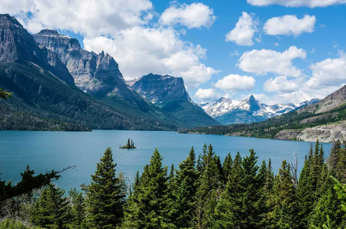 Photo: North Cascades National Park, via overlandtheamericas.com
Records show that Pacific Lumber and Washington Mining continued their partnership until the 1950s, when both companies were acquired by larger corporations that had no interest in maintaining the unusual arrangement.
The Moral of the Story
The Great Cascade Forest Fiasco stands as a reminder that even the most powerful government in the world is run by human beings who sometimes make gloriously human mistakes. It also demonstrates America's peculiar talent for turning bureaucratic disasters into workable solutions through sheer stubborn pragmatism.
Somewhere in the National Archives, there's still a file folder labeled "Cascade Incident — Do Not Duplicate" that contains the original land patents that started this mess. It's probably sitting right next to similarly embarrassing files that we won't hear about for another century.
Because if there's one thing you can count on in American government, it's that today's unthinkable bureaucratic error is tomorrow's routine procedure that nobody questions.